
Adams County ZIP Code Coverage
The county factsheet's “Zipcodes & Post Offices” table is the static source for this county's postal directory. Its city column is a delivery label. It should not be read as a claim that every address in a ZIP lies entirely within Adams County or within the named municipality.
| ZIP | County factsheet delivery label |
|---|---|
| 80002 | Arvada |
| 80003 | Arvada |
| 80010 | Aurora |
| 80011 | Aurora |
| 80018 | Aurora |
| 80019 | Aurora |
| 80022 | Commerce City |
| 80023 | Broomfield |
| 80024 | Dupont |
| 80030 | Westminster |
| 80031 | Westminster |
| 80045 | Aurora |
| 80102 | Bennett |
| 80103 | Byers |
| 80105 | Deer Trail |
| 80136 | Strasburg |
| 80137 | Watkins |
| 80212 | Denver |
| 80216 | Denver |
| 80221 | Denver |
| 80229 | Denver |
| 80233 | Denver |
| 80234 | Denver |
| 80239 | Denver |
| 80241 | Thornton |
| 80249 | Denver |
| 80260 | Denver |
| 80601 | Brighton |
| 80602 | Brighton |
| 80603 | Brighton |
| 80614 | Eastlake |
| 80640 | Henderson |
| 80642 | Hudson |
| 80643 | Keenesburg |
| 80654 | Wiggins |
| 80701 | Fort Morgan |
The Adams County factsheet is the source for these rows. Verify a subject parcel and municipality before using the postal value as a county filter.
Adams County ZIP Code vs City
A postal code is a delivery geography. A city is a municipal geography. A county parcel can carry a Denver, Aurora, Arvada, Broomfield, Westminster, or Fort Morgan label while the GIS jurisdiction and legal custodian differ. Adams County also includes incorporated places, parts of multi-county cities, and unincorporated communities. A postal label on a directory, deed, or envelope is therefore a clue, not a final boundary decision.
Keep these fields apart: USPS delivery city, assessor LOCZIP, owner mailing ZIPCODE, assessor situs city, GIS municipality, county boundary, school or special-district layer, and historical directory place name. If two fields disagree, preserve both and ask the responsible address or GIS custodian for a dated crosswalk. Do not silently replace an older label with a current city name.
This separation is especially important for courts, permits, and elections. A case belongs to the court with jurisdiction, a permit belongs to the city or county department that issued it, and a voter lookup uses a ZIP only as one identity input. The same postal label can therefore send three related questions to three different offices.
- ZIP
- A postal delivery area used to route mail, not a guarantee of municipal or county jurisdiction.
- ZIP+4
- An extended postal code that narrows delivery beyond the five-digit ZIP.
- PO-box ZIP
- A ZIP associated with post-office boxes or a special delivery route.
- Unique ZIP
- A ZIP assigned to a single organization or special delivery purpose.
- Carrier route
- A delivery path inside the postal system, not a public resident roster.
Adams County USPS ZIP Code Modes
USPS provides three useful modes for an Adams County postal check. By Address accepts a street and city, with state and optional ZIP and unit details. By City/State returns city and state delivery information. Cities by ZIP works in the other direction. USPS warns that a result does not confirm a person or company at an address.
| USPS mode | Fields and use |
|---|---|
| By Address | Company optional; street required; apt/suite/other optional; city and state required; ZIP optional; urbanization may appear. |
| By City/State | City required and state selected; useful for a delivery-label cross-check. |
| Cities by ZIP | ZIP required; useful for seeing associated city labels. |
Use the full street and unit when a delivery city is uncertain. Then compare the USPS result with county GIS and the parcel's situs. The USPS ZIP Lookup Tool is a postal validation route, not a people search.
Note: USPS delivery guidance does not confirm a person, business, parcel jurisdiction, or household at an address.
For a reproducible note, save whether the lookup used By Address, By City/State, or Cities by ZIP. An urbanization field may appear dynamically in the address mode. A city result can explain mail delivery while leaving the county, municipality, parcel, and record custodian unresolved.
Denver-Labeled ZIP Code Rows in Adams County
The county table includes Denver delivery labels for 80212, 80216, 80221, 80229, 80233, 80234, 80239, 80249, and 80260. That pattern is a useful boundary prompt. Start with the full address, then compare assessor LOCZIP and mailing ZIPCODE with the GIS municipality and county parcel layer. A Denver label can be correct for delivery while a city or county office remains the proper record custodian.
Voter lookup also requires a ZIP, but it returns registration information only when the other identity and birthday fields match. It is not a ZIP resident list. A city directory may use an older postal or municipality name, so the edition year belongs beside the place label.
Edge ZIP Code Labels in Adams County
Several rows make the Adams County ZIP code directory especially useful for research. The factsheet lists 80023 with Broomfield, 80614 with Eastlake, 80642 with Hudson, 80643 with Keenesburg, 80654 with Wiggins, and 80701 with Fort Morgan. It also lists 80024 with Dupont and 80103 with Byers. These labels should trigger a parcel and jurisdiction check rather than an assumption that the delivery city is wrong.
For an edge address, save the county factsheet row, USPS result mode, assessor account and parcel, GIS map layer and date, and any municipal confirmation. If a city-held permit or clerk file is involved, send the request to that city. A county mailing phrase does not merge separate custodians into one Adams County database.
Adams County ZIP Code Fields
The assessor's official file layouts expose LOCZIP in Account Master and ZIPCODE in Name/Address. The voter lookup uses ZIP as one of four required inputs. Thornton's permit service includes ZIP as an attribute and can be queried with address, PIN, ADCO_PIN, subdivision, and permit fields. GIS layers may display postal or city labels, but dataset metadata controls their meaning and date.
The Assessor page documents address and street-range searching, but it does not document a ZIP filter beyond those controls. Do not assume that a ZIP field in an export is a live portal filter. Preserve raw field names and the file-layout version when a ZIP is used to join records.
The Assessor Maps and Data capture shows the downloadable Admin and Appraisal route.
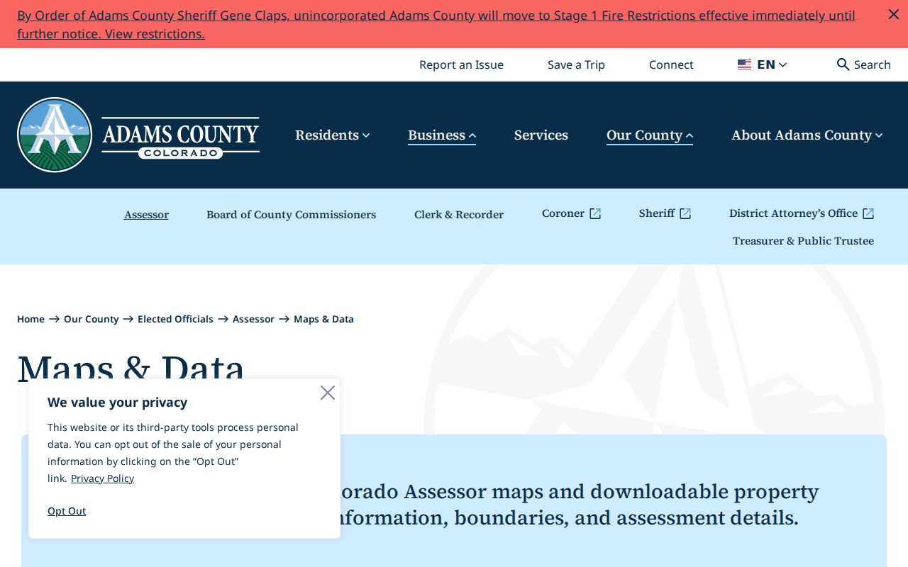
The image highlights why a postal search should preserve the source file and date instead of treating a parcel card as a timeless postal map.
Note: LOCZIP and ZIPCODE are separate assessor fields, so a postal mismatch may reflect situs versus mailing.
| System field | What it can answer |
|---|---|
| LOCZIP | ZIP tied to the situs account record. |
| ZIPCODE | ZIP tied to a mailing name/address line. |
| Voter ZIP | Input to a person-specific registration match. |
| Permit ZIP | Address attribute in a city-specific permit layer. |
Access is available through more than the web form. The county factsheet is an online static reference. USPS supplies address, city and state, and cities-by-ZIP modes. Assessor Admin and Appraisal downloads supply dated ZIP fields and file layouts. A voter ZIP is tested through the state form, while a Thornton permit ZIP is queried through a municipal ArcGIS layer. County GIS and municipal address staff can clarify a boundary or alias in person, by phone, or through a written request. A Colorado Open Records Act request may seek an existing ZIP crosswalk or GIS metadata, but it should name the field, date range, and format.
Libraries and archives can help with an older postal or telephone label when the current table does not answer a historical question. Ask for a dated directory, postal book, atlas, or map rather than assuming today's ZIP existed in the same form. Retain the source's spelling and the reason it was used.
Adams County Historical Postal Gaps
Research found no dated official ZIP split, consolidation, or realignment history for Adams County, and no verified countywide address-grid conversion. The current table cannot be projected backward without a dated Postal Service or archival source. Historical directories, postal books, Sanborn maps, legal descriptions, subdivision filings, and reception numbers can bridge an older address, but the bridge must be shown.
A missing ZIP or old city label may reflect a changed delivery route, a former municipality, an incomplete directory, or a field that was never captured. State the gap plainly. “No historical ZIP change located in the reviewed sources” is stronger than an invented date.
The edge rows also show why ZIP geography needs a second layer. 80023, 80654, and 80701 carry Broomfield, Wiggins, and Fort Morgan labels in the county factsheet. A researcher should check the parcel and municipal map before routing an assessor, permit, court, or clerk question to Adams County. If the address is outside the county, preserve that finding and use the correct custodian rather than forcing the record into the directory.
Verify Adams County ZIP Codes
Finding residents by postal code should narrow a record search, not replace the address and jurisdiction work. Use the following sequence for an Adams County postal-directory question:
- Copy the original street, unit, city, state, and ZIP from the source.
- Run USPS By Address and save the delivery-city result and lookup mode.
- Check the county factsheet row and compare LOCZIP or ZIPCODE in the assessor data.
- Open GIS or the relevant municipal map to verify county and city jurisdiction.
- Use a parcel, voter, permit, directory, or court system only for its own documented field set.
Boundary note. When USPS, the assessor, and GIS disagree, keep all three labels with their dates and ask the custodian that owns the disputed field.
Once the ZIP narrows the area, the Adams County street directory is the better route for a parcel and street chain. A postal label never confirms a person at an address.
For a municipal record, add the city name and department to the request. For a historical record, add the directory or map year. For a parcel record, add ACCOUNTNO or PARCELNB. Those extra keys keep the Adams County postal directory useful without making the postal field carry more meaning than it has.
Note: A ZIP narrows a place, but the parcel and custodian still decide which record path applies.